




At Hoefsloot Spatial Solutions we turn Earth observation and data analytics into decisions that matter — across agriculture, nature, development and disaster resilience. Whatever the question, our approach stays the same: begin with reliable data, apply the right models, and put the answer where people can act on it.
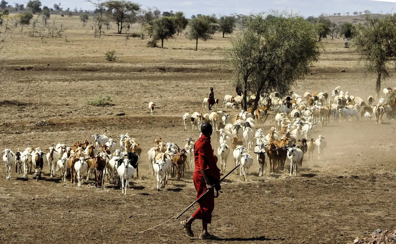
The questions we help answer are as varied as the landscapes we work in:
- How many people in Ethiopia may need food assistance after a poor Meher rainy season?
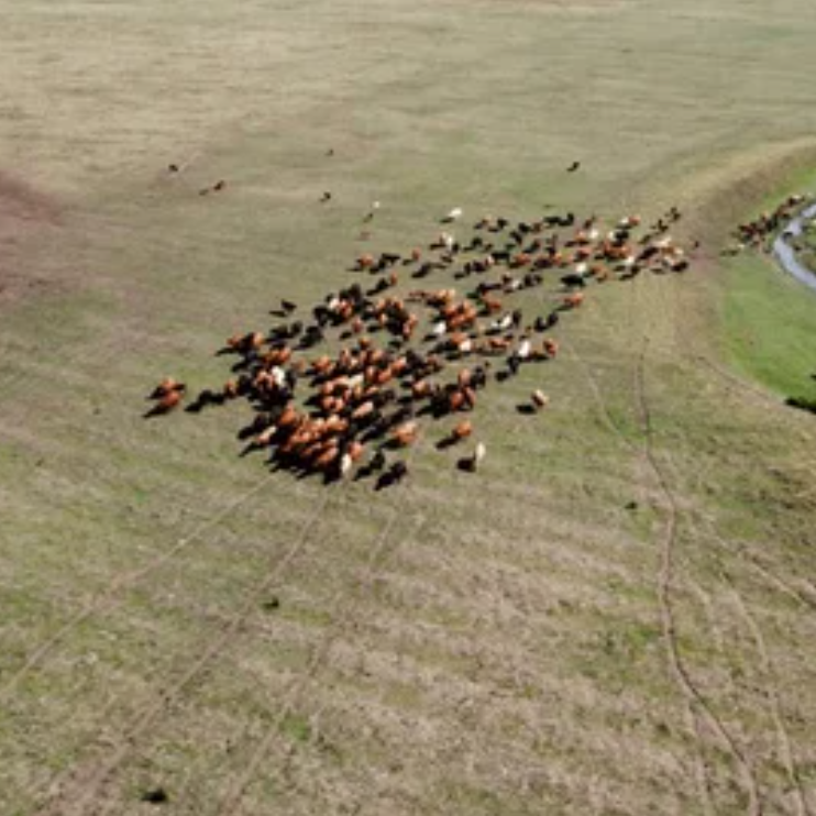
- Where is livestock grazing across a national park, and how many animals are there?
- How are plant communities shifting across the Netherlands as the climate changes?
- What financial risk do natural hazards pose to an organisation or a portfolio?
How we work

Reliable data. We combine satellite imagery with ground observations — and validate in the field, so the numbers hold up.
Ideas, models and algorithms. We apply proven methods, often developed together with universities and research partners, and increasingly machine learning, to turn raw data into meaning.
Media that reaches people. Insight only matters if it travels: we deliver it through apps, dashboards, websites, films and clear, honest reporting.
Training and support. Once a method is established we hand it over — clients should own their tools, not depend on us forever.
This is what we mean by data analytics for development — the same approach behind AfriScout, recently recognised with an Honourable Mention in the European Space Agency’s Impact Stories from Space Challenge.